Education: Planning and Carrying Out Investigations
|
|
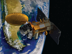
Comparing Ships to Satellites (00:04:33)
In this clip, Dr. Eric Lindstrom gives viewers a comparison between early seagoing vessels and earth-observing satellites.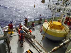
Constructing a Surface Mooring (00:07:18)
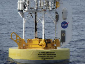
Dr. Tom Farrar dicusses how scientists design surface moorings to stay in one place in the middle of the ocean while simultaneously collecting data for up to one year at a time.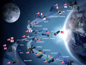
How Do We Define Salinity? (00:01:30)
Dr. Tom Farrar explains what scientists mean when they talk about ocean salinity and defines the associated values.
Introduction to a Glider System (00:03:14)
Dr. Fred Bingham introduces viewers to an at-sea glider system, including their importance and function in modern oceanographic research.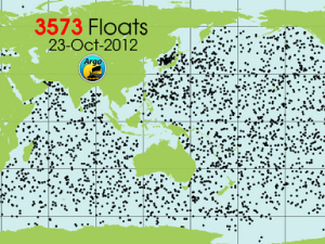
Introduction to Argo (00:03:46)
An introduction to the Argo float program, a worldwide network of profiling floats taking measurements in the world's oceans.
Introduction to Lagrangian Floats (00:03:02)
Dr. Fred Bingham describes how a new type of float - called a Lagrangian float - is used for at-sea salinty research.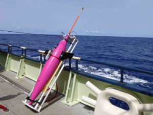
Introduction to Seagliders (00:02:03)
There are surface drifters and wave gliders, so what constitutes a seaglider? Dr. Fred Bingham tells us in this clip, and shares how these drifters helped researchers to better understand the SPURS region.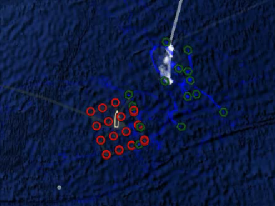
Introduction to Surface Drifters (00:01:39)
An introduction to the types of in-situ instrumentation used during a research cruise to the mid-Atlantic, including surface drifters.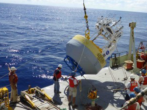
Introduction to the SPURS Moorings (00:05:26)
During SPURS, three research moorings were deployed. In combination, these three stationary platforms collected data in the SPURS region, an area in the northern mid-Atlantic, playing a key role in understanding the high salinity area.
Remote Sensing in the 2000s (00:08:15)
Drs. David Le Vine and Gary Lagerloef explain how remote sensing has evolved throughout the past few decades, focusing specifically on ocean salinity research in the 2000s.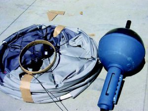
Surface Drifters and SPURS (00:04:24)
As part of the SPURS study, 40 surface drifters were deployed to measure salinity and other variables. Dr. Fred Bingham explains their ability to move through the ocean autonomously, and what information that they can provide researchers.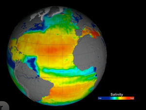
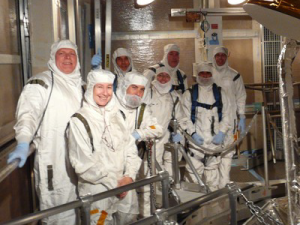
The Aquarius/SAC-D Satellite, Explained (00:06:40)
In this clip, Dr. Eric Lindstrom walks us through the inner workings of the Aquarius/SAC-D satellite, whose current mission is to measure global ocean salinity from space. 
The Evolution of Open Ocean Exploration (00:03:14)
Dr. Eric Lindstrom talks about the connection between ocean-going vessels and ocean-observing satellites and how both are vital in learning more about how ocean circulation works and affects our planet.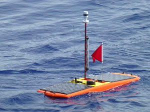
What Are Wave Gliders? (00:03:43)
In this clip, Dr. Fred Bingham gives an overview of the various components aboard a wave glider.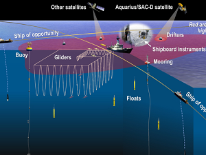
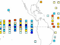
What's Above a Mooring? (00:03:21)
Surface moorings collect continuous data from a single point in the ocean. Dr. Tom Farrar explains the types of instrumentation often found atop one of these moorings.